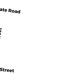
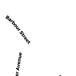
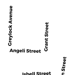
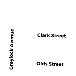
143 -149 PROTECTION AV
Owner Information
LECLAIR JOHN J & STACY J
147 PROTECTION AVE
NORTH ADAMS, MA 01247


Property Details
143 -149 PROTECTION AV is classified as a Three-Family Residential (Multi-conv).
The primary structure on this property was built in 1900. There are 2,998ft2 of built area within this property. There is 2,998ft2 of residential/living space within this property. This property is listed as having 14 rooms. There are 3 units within this property.
143 -149 PROTECTION AV is valued at $129,400. The land is valued at $21,000 and the structures are valued at $106,100. There is an additional valuation of $2,300 on this property.
The most recent deed for 143 -149 PROTECTION AV is recorded at the local registrar in Book 1137, Page 1078. 143 -149 PROTECTION AV was last sold on Monday, November 24, 2003 for $75,000.
Assessment data from fiscal year 2022.
Flood Data
According to the FEMA National Flood Hazard Layer, this property does not appear to be in a flood zone. It may also be in an area not yet reviewed. Nonetheless, confirm this information prior to taking any action.
To view the flood hazards around this property, create a FEMA "Firmette" Map of the area around 143 -149 PROTECTION AV.
Broadband Internet Providers
| Provider | Type | Bandwidth (mbps) | |
|---|---|---|---|
| Verizon New England Inc. | DSL | 15 | 1 |
| Crown Castle Fiber | Fiber | 0 | 0 |
| VSAT Systems, LLC. | Satellite | 2 | 1 |
| HughesNet | Satellite | 25 | 3 |
| GCI Communication Corp. | Satellite | 0 | 0 |
| T-Mobile | Fixed Wireless | 25 | 3 |
| Charter Communications Inc | Cable | 940 | 35 |
| Viasat Inc | Satellite | 35 | 3 |
Broadband service provider data from December 2020.
Adjacent Properties
- 0 TAFT + PROTECTION AV
Recreation, Active Use (Charitable Org.) owned by CITY OF NORTH ADAMS - 506 STATE RD
Other Storage, Warehouse, and Distribution facilities (see also usecode 401) owned by GREYLOCK WORKS - 506 STATE RD
Residential Condominium owned by GREYLOCK WORKS - 506 STATE RD
Residential Condominium owned by 53 THORMAN AVENUE REALTY LLC - 506 STATE RD
Residential Condominium owned by GREYLOCK WORKS - 506 STATE RD
Residential Condominium owned by GREYLOCK WORKS - 506 STATE RD
Residential Condominium owned by GREYLOCK WORKS - 506 STATE RD
Residential Condominium owned by GREYLOCK WORKS - 506 STATE RD
Residential Condominium owned by GREYLOCK WORKS - 506 STATE RD
Residential Condominium owned by GREYLOCK WORKS - 506 STATE RD
Residential Condominium owned by GREYLOCK WORKS - 506 STATE RD
Residential Condominium owned by GREYLOCK WORKS - 506 STATE RD
Residential Condominium owned by GREYLOCK WORKS - 506 STATE RD
Residential Condominium owned by GREYLOCK WORKS - 506 STATE RD
Residential Condominium owned by GREYLOCK WORKS - 506 STATE RD
Residential Condominium owned by GREYLOCK WORKS - 506 STATE RD
Residential Condominium owned by GREYLOCK WORKS - 506 STATE RD
Residential Condominium owned by GREYLOCK WORKS - 506 STATE RD
Residential Condominium owned by 51 THORMAN AVENUE REALTY LLC - 137 -141 PROTECTION AV
Two-Family Residential owned by BOUDREAU LAWRENCE J & MARY